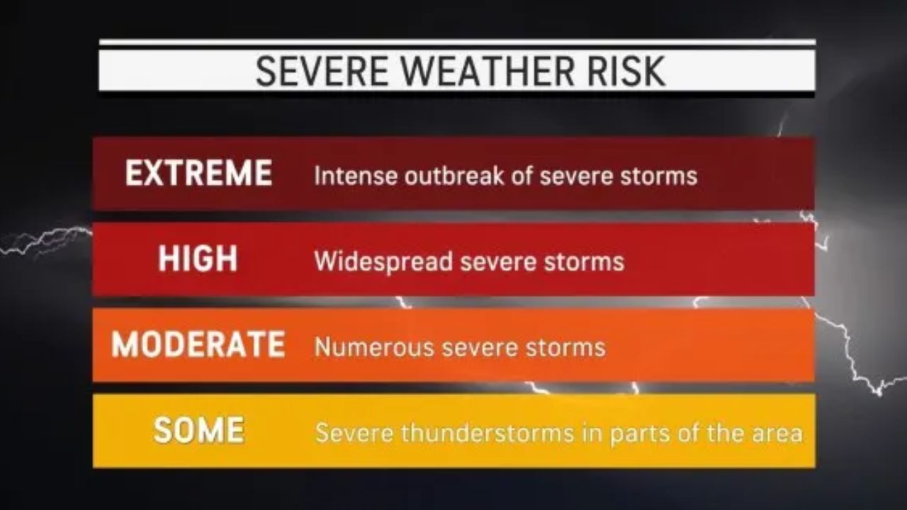
Chicago, Illinois — Millions of Americans across the central and eastern United States are preparing for a volatile stretch of weather as rounds of severe thunderstorms are expected to arrive before an expansive heat dome settles over much of the country through the end of June and into early July.
Meteorologists warn that the evolving weather pattern could bring damaging winds, flash flooding, large hail, isolated tornadoes, and eventually dangerous heat across dozens of states, creating multiple hazards over the coming days.
Severe Storms Target Midwest and Ohio Valley
The first round of storms is expected to move from the Plains into the Great Lakes and Ohio Valley before pushing eastward.
Forecasters say communities from Michigan and western New York to northern Kentucky and southern Illinois face the greatest threat for severe weather.
Cities that could experience strong thunderstorms include:
- Pittsburgh
- Cleveland
- Buffalo
- Cincinnati
The primary concern will be damaging wind gusts between 55 and 65 mph, although the strongest storms could produce gusts approaching 75 mph.
Heavy rain may also reduce visibility, create hazardous driving conditions, and lead to airline delays. A few storms across Ohio, northwest Pennsylvania, and western New York could also produce isolated tornadoes.
Friday Could Bring Stronger Storms
Weather conditions are expected to become even more favorable for severe thunderstorms on Friday as a stronger storm system sweeps across the Midwest and into the Appalachian region.
The greatest risk is forecast from eastern Kansas through West Virginia, western Virginia, and western North Carolina.
Strong thunderstorms could once again produce damaging wind gusts between 55 and 65 mph, with isolated gusts potentially reaching 85 mph in the strongest storms.
Large hail and dangerous lightning will also be possible.
In addition to severe weather, forecasters warn that repeated rounds of heavy rainfall may significantly increase the threat of flash flooding across parts of the Ohio Valley and surrounding areas.
Flooding Threat Continues Into the Weekend
As the storm system moves east on Saturday, heavy rain is expected to spread into portions of the Appalachians and the Mid-Atlantic.
Some locations could experience prolonged downpours capable of producing localized flooding before the system moves offshore.
Meanwhile, additional thunderstorms are expected to continue developing farther west across the Plains.
Warm, humid air combined with daytime heating and a strong jet stream will create favorable conditions for new thunderstorms through the weekend.
Meteorologists warn that storms developing across the Plains and Rockies may produce:
- Damaging wind gusts
- Large hail
- Frequent lightning
- Torrential rainfall
- Localized flash flooding
Derecho and Tornado Risk Increases
Forecasters are also watching for the possibility of large, long-lived thunderstorm complexes developing over the weekend.
As the heat dome strengthens across the southern United States, storms may ride along its northern edge, creating favorable conditions for derechos—fast-moving lines of destructive thunderstorms capable of traveling hundreds of miles.
The greatest risk for this type of event appears to be Saturday into Saturday night, although severe storms are expected to continue through Sunday and into early next week.
California Residents Can Earn Up to $500 for Reporting Illegal Fireworks Before July 4
A few of the strongest storms could also produce isolated tornadoes.
Dangerous Heat Dome to Follow
Once the storm systems move through, attention will shift to an expanding heat dome expected to dominate much of the Midwest and eastern United States into early July.
While the heat intensifies across the central states, additional thunderstorm complexes are expected to develop around the edge of the high-pressure system, bringing continued severe weather to parts of the northern Plains, Upper Midwest, and Northeast.
Farther south, forecasters are also monitoring clusters of thunderstorms moving from the Atlantic Coast toward the Gulf Coast. Some of these systems could gradually organize and show tropical characteristics if favorable conditions develop.
With multiple rounds of severe weather expected before the arrival of prolonged heat, residents across the affected regions are encouraged to closely monitor local forecasts and be prepared for rapidly changing conditions.
Has your area already experienced severe storms this week? What preparations are you making for the threat of severe weather or extreme heat? Share your thoughts and local conditions in the comments below.