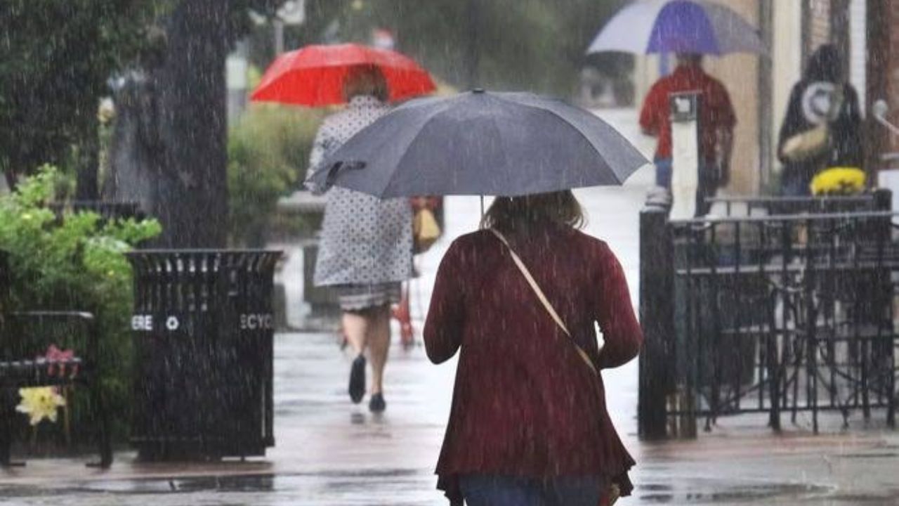
Wichita, Kansas — Residents across Kansas should prepare for several days of unsettled weather as multiple rounds of thunderstorms move through the state, bringing the potential for severe weather, heavy rainfall, and localized flooding.
Forecasters say the most significant threat is expected Tuesday night into Wednesday morning when strong thunderstorms are forecast to sweep from west to east across much of the state.
The active weather pattern will keep storm chances in the forecast through Friday before summer heat makes a strong comeback over the weekend.
Severe Weather Threat Builds Tuesday Night
A few thunderstorms may develop along the Colorado state line Tuesday evening before expanding farther east overnight.
Meteorologists have placed portions of western Kansas under a Slight Risk for severe weather, with storms capable of producing large hail and strong wind gusts.
As the system moves across the state, conditions are expected to become more favorable for widespread thunderstorms.
Forecasters warn that some storms could become severe, particularly during the overnight and early morning hours.
The primary threats include:
- Damaging wind gusts
- Large hail
- Heavy rainfall
- Localized flash flooding
Residents are encouraged to monitor forecasts closely and have multiple ways to receive weather alerts, especially overnight when storms are expected to be most active.
Rain and Storm Chances Continue Through Midweek
The unsettled pattern will continue into Wednesday, although the severe weather threat is expected to decrease somewhat after the strongest storms move through.
A Marginal Risk remains in place for parts of the state Wednesday as additional thunderstorms develop behind the main system.
Cloud cover and rainfall will help keep temperatures below average for late June, providing a temporary break from the summer heat.
In Wichita, highs are expected to remain in the low 80s through Thursday, with rain chances ranging from 60% to 70%.
Similar conditions are forecast across central, western, and northern Kansas as repeated rounds of showers and storms move through the region.
Flash Flooding Could Become a Concern
While hail and damaging winds remain significant concerns, heavy rainfall may pose another threat.
With multiple waves of thunderstorms expected over several days, some communities could receive repeated rounds of rain, increasing the risk of flash flooding.
Low-lying areas, urban locations, and roads prone to flooding may experience the greatest impacts if storms repeatedly move across the same locations.
Forecasters are urging motorists to avoid driving through flooded roadways and to remain alert for changing conditions during periods of heavy rain.
Cooler Temperatures Hold Through Friday
The extended forecast shows relatively mild temperatures continuing through the end of the workweek.
Across Wichita and much of central Kansas, daytime highs are expected to stay mainly in the upper 70s to upper 80s through Friday.
Western and northern Kansas will experience similar conditions, with highs generally ranging from the upper 70s to mid-80s during the stormiest part of the week.
The combination of clouds, rainfall, and occasional thunderstorms will help suppress temperatures temporarily.
After Inches of Rain, Houston Faces Hotter Days and Dangerous Heat This Week
Summer Heat Returns for the Weekend
After several days of storm chances, conditions are expected to improve significantly by Saturday.
Rain chances will decrease sharply, skies will become sunnier, and temperatures will begin climbing once again.
Many locations across Kansas are forecast to reach the mid-to-upper 90s by Sunday and Monday, with some western communities nearing the 100-degree mark.
The return of sunshine and heat will mark a dramatic change from the stormy conditions expected earlier in the week.
Residents should take advantage of the cooler weather while it lasts and remain prepared for both severe storms and potential flooding before hotter summer conditions return.
How is the weather looking in your area of Kansas?
Have recent storms caused flooding or severe weather impacts where you live? Share your experiences in the comments below.