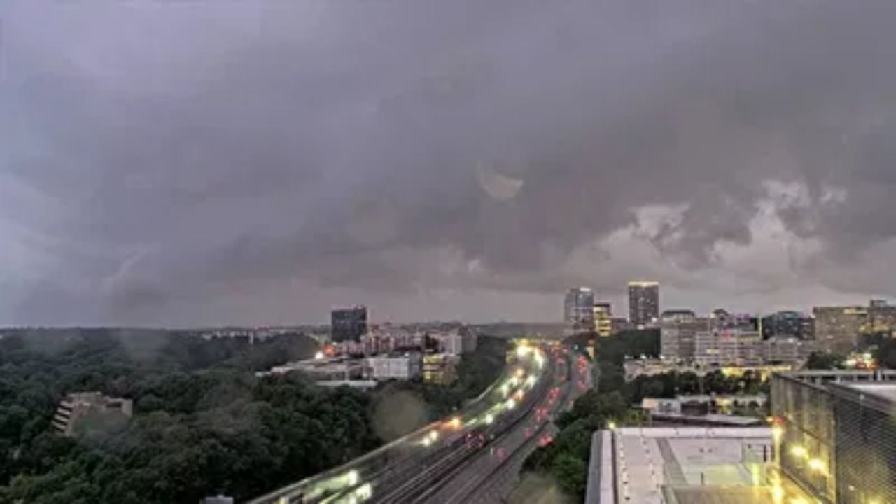
NEWARK, New Jersey — Step outside this morning and you will likely notice the grey — low clouds and patchy fog are hanging over the region, making for a slow and hazy start to the day.
The fog should lift as the morning goes on, and some sunshine will work its way through later. But do not expect a dramatic warmup just yet.
Coastal areas will stay on the cooler side thanks to an onshore breeze keeping temperatures down. Inland spots should fare a little better, with highs nudging close to 80 degrees as some warmth starts to filter back in.
A small shower chance this afternoon — but most stay dry
There is a very slight chance of a pop-up shower during the afternoon hours.
It is not something most people will see. The majority of the region should get through the day without any rain. Still worth knowing if you have outdoor plans later.
Midweek brings the warmth back
Things start looking up as we head into Tuesday and Wednesday.
Temperatures will climb steadily through the middle of the week, reaching the mid-80s by Wednesday. The air will also begin to dry out, which should make those warmer temps feel a lot more comfortable than the humid stretches we have had recently.
Enjoy it — because the pattern does not hold.
Thursday marks the turn
Late Thursday is when the first signs of change arrive.
A few showers are possible as the weather pattern begins shifting toward something wetter. It will not be a washout, but it is a signal that the nicer stretch is winding down.
This weekend looks nothing like the last one
Here is where things get more serious.
A large dip in the jet stream is expected to push a storm system toward the coast by the end of the week. That system looks likely to spread a steady, general rain across the region late Saturday and continuing into Sunday.
This is not a quick-moving storm. It is the kind of setup that brings grey skies, persistent rain, and a noticeable chill.
Temperatures will drop back to the low to mid-70s by the weekend. Winds will pick up from the east and northeast, adding to the raw feel of the days.
If last weekend felt like peak summer, this one is shaping up to feel more like an early preview of fall.
Plan accordingly — and keep an eye on updates as the week goes on.
How is the fog looking in your area this morning? Drop a comment and let your neighbors know what conditions are like where you are.