NEW YORK CITY, New York — After a beautiful Saturday with sunny skies and comfortable temperatures, the NYC area is not getting much of a break.
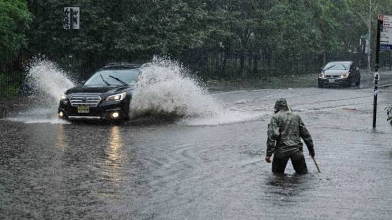
Heavy rain and flash flooding are on their way back — and this time, the overnight hours are the biggest concern.
Sunday starts quiet, then changes fast
Most of Sunday morning stays dry with just increasing clouds.
By around 3 p.m., showers begin pushing in from the southwest. Through the evening hours, expect light to moderate rain — nothing too serious at first.
Highs on Sunday will reach the upper 70s to low 80s, but it will feel muggy as humidity climbs through the day.
The real risk hits Sunday night
Once the sun goes down, the situation changes.
Heavier downpours become possible overnight, and where they do hit, localized flooding is a real concern. A Weather Alert has been issued from Sunday night after sunset through approximately 4 a.m. Monday.
The highest risk area sits southwest of New York City.
Rainfall totals are expected between 0.5 and 1.5 inches, with some isolated spots picking up more. An isolated strong thunderstorm cannot be ruled out, though the severe weather risk remains low for now.
Monday brings relief
The good news is this system moves out quickly.
Monday morning may start with a lingering shower, but skies brighten up into the afternoon. A hit-or-miss storm is possible Monday afternoon, but should be isolated and brief.
If you are in the affected zone, avoid low-lying roads and underpasses during the overnight hours. Flash flooding can develop quickly even from localized downpours.
Are you seeing heavy rain or flooding in your neighborhood tonight? Drop your location in the comments and let others know what conditions look like on the ground.