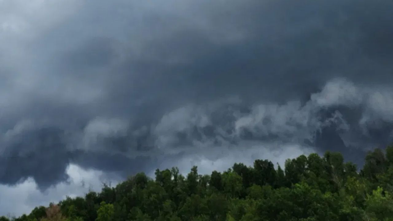
OAK HILL, WV — Parts of southern West Virginia remained on alert Thursday evening after a fresh round of flood watches was issued across the region, with forecasters warning that saturated ground and repeated heavy downpours could trigger dangerous flash flooding in the hours ahead.
According to the National Weather Service, a Flood Watch is now in effect for the eastern and southern sections of the area until 8 a.m. Thursday, while northern and western communities remain under watch until 8 a.m. Friday. The warnings come after storms rolled through the far southwestern parts of the region earlier in the day, some carrying enough intensity to raise concern among local officials monitoring the pattern.
Residents were told to expect a repeat performance overnight, with additional storms tracking in from the west. Temperatures are expected to hold in the mid-60s through the evening, and patchy fog could complicate Friday’s morning commute.
Thursday is shaping up to be another high-risk day, officials say, with atmospheric moisture levels running unusually high — a combination that has meteorologists watching closely for another round of flash flooding. Daytime highs are forecast to climb into the lower 80s, while overnight lows may struggle to fall below 70 degrees before easing into the mid-60s.
A cold front moving through Friday is expected to spark another wave of storms, some of which could turn strong to severe, extending the region’s stretch of unsettled weather.
There is relief in sight, however. A weak area of high pressure is forecast to move in over the weekend, cutting rain chances down to more typical summer levels — around 40% on Saturday and 30% on Sunday. A separate front arriving Monday could bring another uptick in rain chances, but forecasters say the overall pattern will trend drier as the region gets a break from the active stretch it has endured.
Officials are urging residents in flood-prone and low-lying areas to stay alert to changing conditions as the watch periods continue.