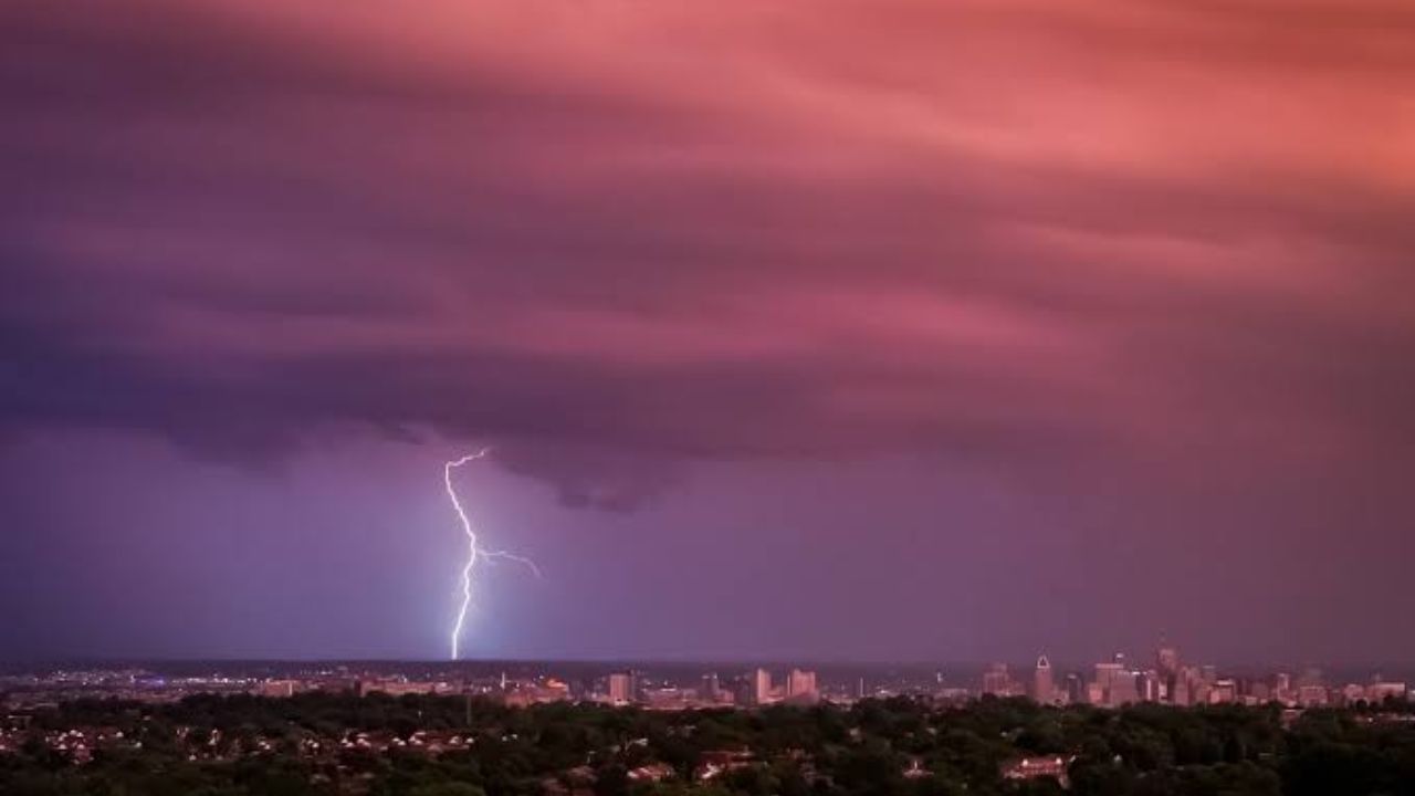
BALTIMORE, Maryland — Friday night’s storms are not the end of it. Maryland is heading into a back-to-back weather stretch that residents need to take seriously before stepping outside this weekend.
Flash flooding has already been reported across Baltimore and Harford counties Friday evening. Trees are down. Storms are still moving through.
They will begin to taper later tonight and into early Saturday morning — but do not let that window fool you.
Saturday brings the bigger threat
Saturday is now the main concern. A First Alert Weather Day has been issued for the risk of severe thunderstorms, bringing gusty winds and heavy rainfall.
Some patchy fog is likely early in the morning, especially in areas that saw rain Friday night. Once that clears, storm chances return.
Feels-like temperatures will climb back near 100 degrees. Combined with incoming storms, Saturday will demand caution for anyone spending time outdoors.
What Sunday and Monday look like
Sunday brings slightly drier conditions — but not a clean break. A few showers and storms may still develop in the afternoon or evening.
Monday follows a similar pattern, with an isolated shower or storm possible during evening hours.
Humidity remains high throughout the weekend, though a slight and barely noticeable dip is expected Sunday. Feels-like temperatures will peak in the upper 90s for most areas.
When does real relief arrive?
Dew points will hover around 70 degrees through the middle of next week. The heat does not meaningfully ease until Wednesday, when temperatures drop by a few degrees.
Thursday marks the turning point. By Friday, August 15, skies clear and humidity drops to manageable levels — the most comfortable day Maryland will have seen in more than a week, with mid-80s temperatures.
Until then, stay weather-aware and check conditions before heading out.
Are you seeing storm damage or flooding in your neighborhood right now? Let others know in the comments — your update could help someone nearby stay safe.