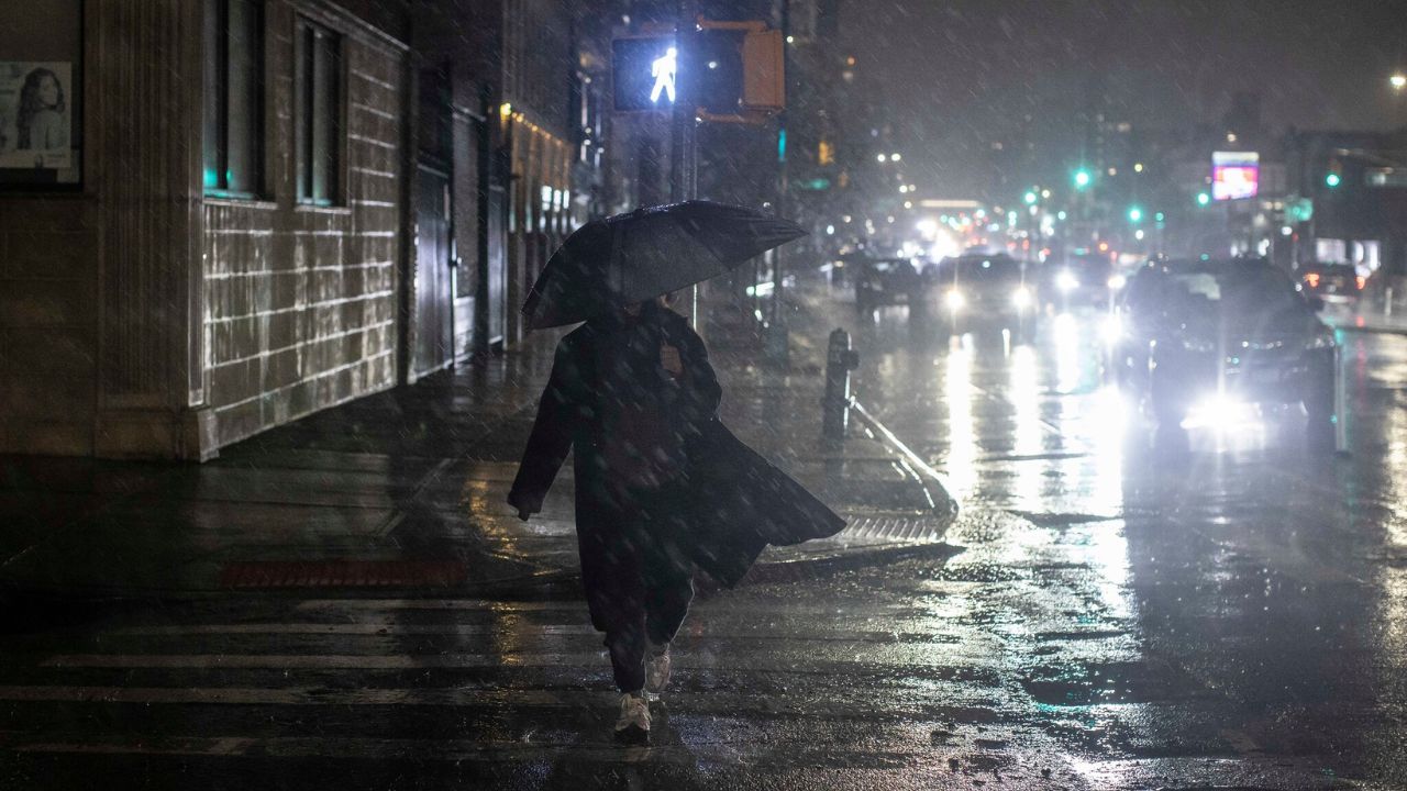
NEW YORK, New York — The East Coast is not getting a break.
Just days after millions of residents dealt with heavy rainfall and flooded streets, another round of powerful storms is on the way — and forecasters warn this one could be just as bad, if not worse.
The ground is already soaked from last week’s rain. That means any new rainfall has nowhere to go.
Why This Storm System Is So Dangerous
A surge of warm, wet air from the Atlantic is being pushed inland by a high-pressure system sitting just off the coast. A cold front moving down from the Great Lakes will collide with that moisture starting Friday afternoon, sparking showers and thunderstorms from the Southeast all the way into the Northeast.
The strongest storms could dump up to 2.5 inches of rain per hour.
A Level 1 out of 4 flash flood risk is in effect through Saturday for major cities including New York City, Washington D.C., Charlotte, and Atlanta. Severe thunderstorms with damaging wind gusts are also possible Friday afternoon between Washington D.C. and Scranton, Pennsylvania.
What Residents Should Expect
Most of the Northeast and Mid-Atlantic can expect widespread rainfall between 0.5 and 2 inches. In spots where storms repeatedly roll over the same area, totals could climb even higher.
If your area misses the storms, do not count on a comfortable weekend — heat index values could top 100 degrees from Philadelphia to Boston, with heat alerts potentially extending into Saturday.
Do Not Wait to Prepare
Avoid low-lying roads during heavy rain. Stay off flooded streets even if they look shallow. Check on elderly neighbors who may need help.
This weekend, staying alert could make all the difference.
Are you in the storm’s path this weekend? Let us know how conditions look in your area in the comments below.