KANSAS CITY, Missouri — Forecasters are watching a dangerous weather setup unfold across Missouri and Illinois today, and the concern is not just the rain — it is what happens when that rain hits ground that has nowhere left to put it.
A slow-moving weather front is pushing widespread thunderstorms through the region, with rainfall totals of 1 to 2 inches expected through 10:00 AM Thursday. Flash Flood Watches are already in place for the areas expected to take the hardest hit.
Sedalia and Rolla Are in the Bullseye
The heaviest rainfall is concentrated along a corridor running southeast out of Kansas City toward Sedalia and Rolla.
Sedalia is projected to see 1.4 inches. Rolla comes in at 1.35 inches. Kansas City itself is forecast at 0.74 inches, with Nevada, Missouri at 0.85 inches and Topeka at 0.93 inches.
Keokuk, Iowa is also flagged with 1.35 inches projected — a second concentration of heavy rain along the front’s path.
Illinois Is Not in the Clear Either
Moderate but meaningful totals are spreading across central Missouri and western Illinois.
Columbia is projected at 0.57 inches. Quincy comes in at 0.85 inches, Peoria at 0.7 inches, and Chicago at 0.78 inches. Kankakee and Ottawa are both expected to pick up over half an inch.
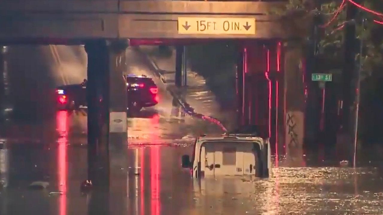
None of these totals are record-breaking on their own — but on already saturated ground, even moderate rain can cause roads to flood fast.
What Residents Should Do Right Now
Flash Flood Watches mean conditions are favorable for flooding to develop quickly and without much warning.
Residents in Kansas City, Sedalia, Rolla, Columbia, and across the broader corridor should stay alert through the day and into tonight.
Do not drive through flooded roads — water depth on a flooded street is almost always deeper than it looks, and moving water can sweep a vehicle off the road in seconds.
Monitor local alerts and be ready to move to higher ground if conditions deteriorate in your area.
Are you seeing flooding or heavy rain in your community right now? Share what you are seeing in the comments below.