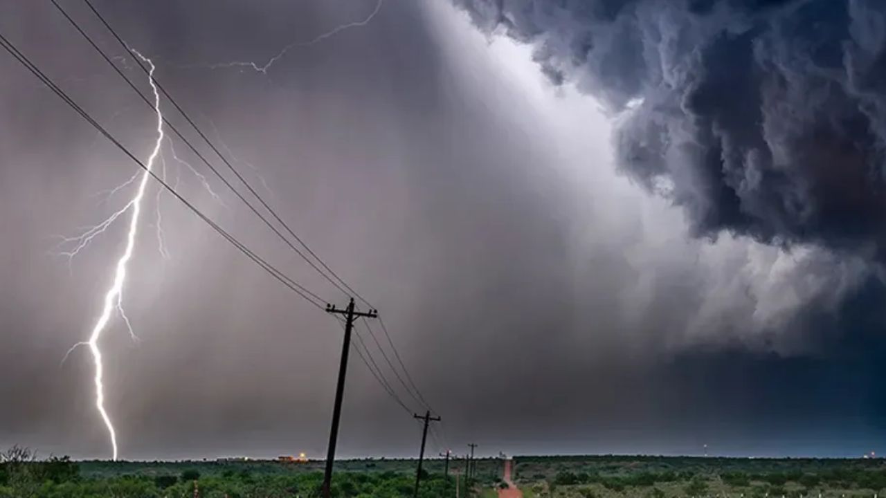
KANSAS CITY, Missouri — Forecasters are tracking a wide-ranging severe weather threat today that stretches from southeastern Arizona all the way through Missouri and into the central Plains — and three specific areas are drawing the sharpest concern.
The Storm Prediction Center has placed Kansas City, Springfield Missouri, and Tucson under a Marginal Risk, Level 1 out of 5, for severe storms. Within that broad zone, meteorologists have identified three darker pockets where the right combination of instability and atmospheric shear gives organized severe weather the best chance to develop.
Three Separate Areas Are Being Watched
The first concentrated pocket sits over southeastern Arizona, pushing toward Tucson. The second covers portions of the Texas Panhandle and western Oklahoma. The third — and the largest — stretches from near Kansas City and Springfield, Missouri northeast toward the Iowa border.
These are not one connected storm system. They are three geographically separate threats unfolding on the same day, which makes it harder for residents to rely on a single forecast. What happens in Tucson will look very different from what develops near Kansas City.
A Much Larger Footprint Covers the Eastern U.S.
Beyond the three flagged pockets, a broad general thunderstorm area stretches from Louisiana and the Gulf Coast through Kentucky, West Virginia, and Pennsylvania up into New England. A separate swath covers most of Florida.
Scattered storms remain possible across all of this wider region, though without the same concentrated severe threat as the three highlighted pockets.
When to Expect the Worst of It
The outlook is valid from Wednesday afternoon through early Thursday morning. The peak window for strong storm development falls during the late afternoon and evening hours, when daytime heating adds fuel to already unstable conditions.
If you are in or near Kansas City, Springfield, or Tucson, keep a weather app open and pay attention to any local watches or warnings issued as the day develops.
Are you in one of the areas under threat today? Let us know what conditions look like near you in the comments below.