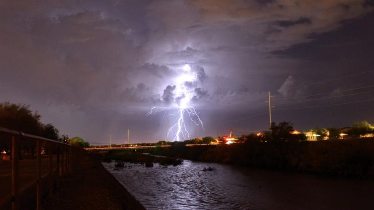
TUCSON, Arizona — If you live in or around Tucson, today is not the day to ignore the weather app.
Federal forecasters have placed southeast Arizona under a Slight Risk for severe thunderstorms — Level 2 out of 5 on the Storm Prediction Center’s scale. That puts the region among the highest-threat zones on today’s national outlook.
The window runs through Wednesday morning, but the most dangerous stretch is expected this afternoon and evening.
What to Expect Today
Forecasters are warning of three separate but overlapping threats.
Damaging wind gusts and hail are the headline severe weather concerns. These are not ordinary afternoon storms — organized severe thunderstorms capable of producing structural damage and large hail are in the forecast.
On top of that, heavy to excessive rainfall could trigger localized flooding in parts of southeast Arizona. Flash flooding is always a serious concern in this region during monsoon-season storms, and today’s setup increases that risk further.
How Far Does the Threat Reach
The Slight Risk zone is centered specifically over southeast Arizona, making it the highest-concentration area for severe storm activity today.
A broader Marginal Risk zone, Level 1, surrounds it, stretching across the southern Rockies into New Mexico and toward western Texas. Two additional Marginal Risk pockets are also flagged — one near the Texas Panhandle and Oklahoma border, another across parts of Virginia, North Carolina, and South Carolina.
Stay Alert This Afternoon
If you are in the Tucson area or anywhere across southeast Arizona, stay weather-aware throughout the day.
Avoid low-lying roads if heavy rain begins, and move indoors quickly if you hear thunder. Afternoon plans outdoors should be treated with caution today.
Are you in the storm zone? Let us know what conditions look like in your area in the comments below.