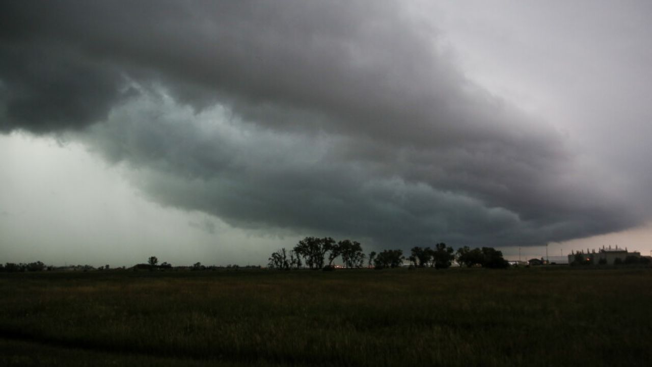
A Slight Risk of severe weather — Level 2 out of 5 — has been issued for parts of Minnesota, southeast North Dakota and northeast South Dakota today, August 3, 2026. The Storm Prediction Center warns that damaging winds, large hail and an isolated tornado are all possible this afternoon and evening.
Who Is Most at Risk
The highest concern stretches through a broad corridor including Fargo, Grand Forks, Bemidji, Hibbing and International Falls, extending southwest toward Watertown and Aberdeen, South Dakota. A wider Marginal Risk zone surrounds this area, reaching Duluth, Minneapolis, Mankato and Rochester.
What Kind of Storms to Expect
Forecasters say today’s setup favors mixed-mode convection — meaning both storm clusters and isolated supercells are possible. The main threats are:
- Damaging wind gusts
- Large hail
- An isolated tornado, particularly with stronger supercells
When Storms Will Arrive
Morning showers across the region are expected to clear out first, allowing the atmosphere to destabilize through midday. A cold front and shortwave moving into the area will trigger storm development by late afternoon, with the threat continuing into the evening hours.
What You Should Do
Residents across Fargo, Bemidji, Grand Forks, Duluth and surrounding communities should stay weather-aware throughout the afternoon. Have a way to receive emergency alerts, know your shelter location, and avoid being outdoors during peak storm hours.
Monitor updates from the National Weather Service as conditions develop.