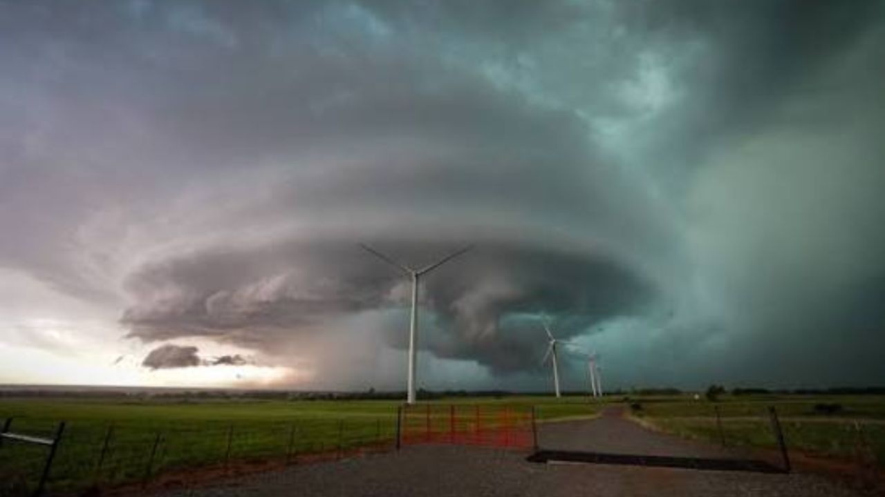
Omaha, NE — Eastern Nebraska and western Iowa are gearing up for another round of dangerous weather this week, with forecasters warning that Thursday could bring damaging hail, strong winds, and the risk of sudden flooding across the Omaha metro and surrounding counties.
The National Weather Service office serving Omaha and Valley has placed much of the region under a Marginal Risk for severe weather on Thursday, July 30, following a short lull in stormy conditions earlier in the week. Meteorologists expect isolated thunderstorms to fire up during the afternoon hours before merging into a larger storm cluster that will push eastward through the evening and into the overnight period.
Officials say the most intense storms may unleash wind gusts strong enough to cause damage, along with hail reaching the size of quarters. Rainfall could also come down heavily and quickly, raising concerns about flooding in low-lying and flood-prone areas.
The window for the highest danger is expected to fall between roughly 4 p.m. and midnight, with the threat easing gradually as the night goes on. Forecasters caution that even residents outside the highest-risk zones could still see brief but intense downpours.
A separate federal weather outlook has flagged the possibility of excessive rainfall totals in parts of the region, meaning flash flooding could develop in spots where storms stall or repeatedly track over the same areas.
Authorities are urging anyone with outdoor plans Thursday to keep a close eye on updated forecasts throughout the day. Residents are also advised to have more than one way to receive emergency alerts and to know in advance where to take shelter if a severe thunderstorm warning is issued for their area.
Meteorologists note that both the timing and severity of individual storm cells remain fluid and could shift as the system moves closer, so continued monitoring over the next day or two is strongly recommended.