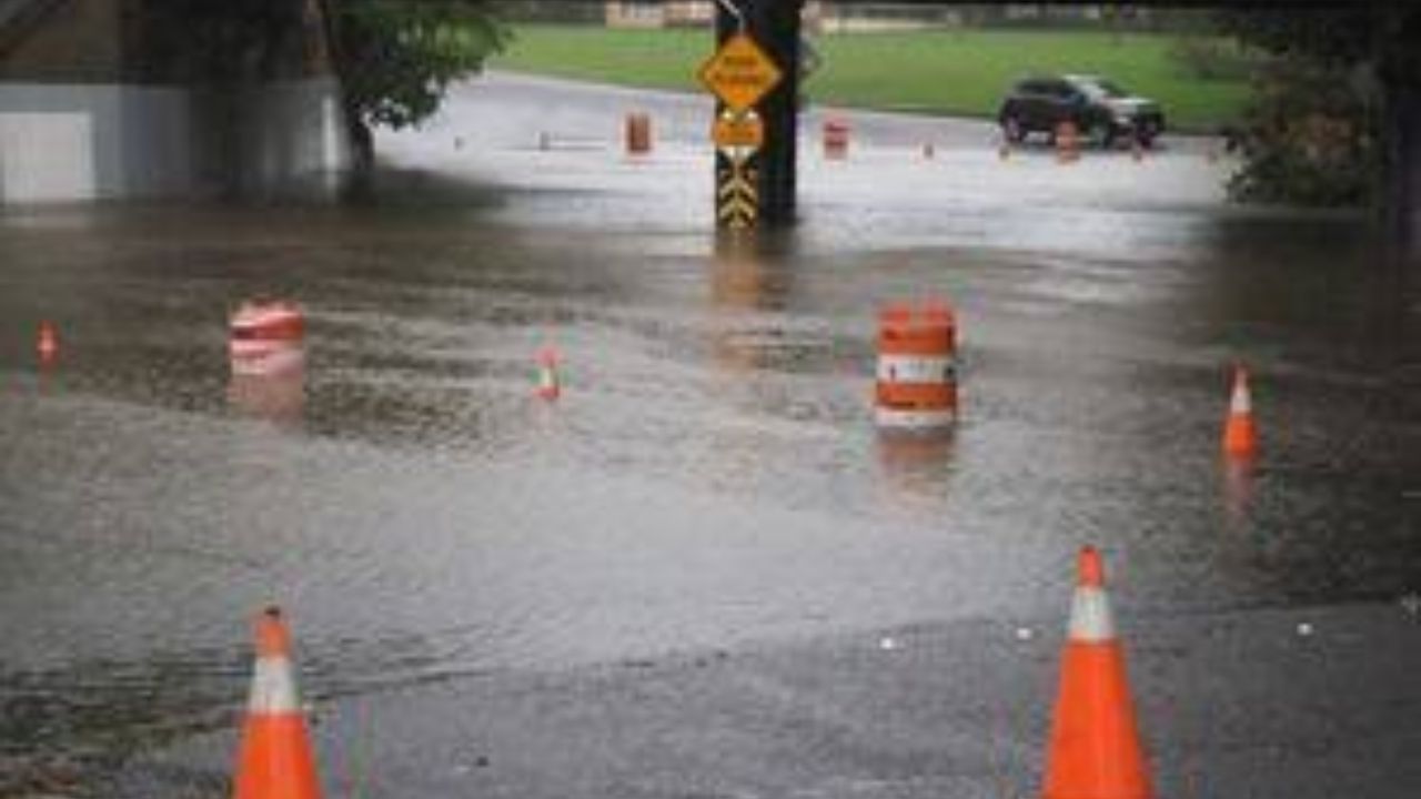
Officials have placed 18 counties across New Jersey under a flood watch beginning Tuesday morning, as forecasters warn that a series of intense storms could bring dangerous rainfall totals to the region through the middle of the week.
According to the National Weather Service, showers and thunderstorms are expected to build through Tuesday morning and into the afternoon, with some downpours capable of dropping one to two inches of rain per hour. By the time the system moves out Tuesday night, total rainfall across the watch area could reach two to four inches, with isolated pockets seeing even more.
The flood watch takes effect at 8 a.m. Tuesday and remains in place until Wednesday morning. Counties under the alert include Bergen, Burlington, Camden, Essex, Gloucester, Hudson, Hunterdon, Mercer, Middlesex, Monmouth, Morris, Ocean, Passaic, Salem, Somerset, Sussex, Union and Warren.
Forecasters say the northeastern part of the state could be hit hardest, with some areas potentially seeing as much as 5 inches of rain once the heaviest bands pass through.
The wet weather isn’t waiting until Tuesday to arrive. Isolated thunderstorms were already popping up Monday afternoon, and parts of Camden and Burlington counties were briefly placed under a severe thunderstorm warning. Officials cautioned that any storms strong enough to reach severe status Monday could produce sudden, powerful wind gusts along with short bursts of heavy rain.
By Tuesday, meteorologists expect the storm activity to become far more widespread across the state. The Storm Prediction Center has categorized the southern half of New Jersey under a level 2 out of 5 risk for severe thunderstorms, while the northern half faces a comparatively lower storm threat but a heightened danger of flooding — especially in communities near and northwest of the I-95 corridor.
Even after the main system clears, the unsettled weather isn’t expected to let up right away. Scattered showers and thunderstorms are forecast to linger into Wednesday, keeping flood-prone areas on alert as the ground struggles to absorb the runoff from back-to-back rounds of heavy rain.