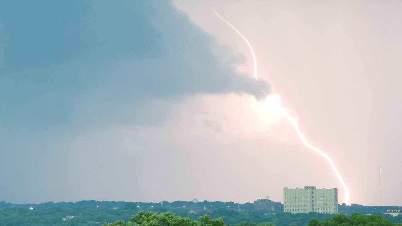
MINNEAPOLIS — Millions of residents across Minnesota, Wisconsin, and parts of northeastern Iowa could wake up to dangerous weather this Sunday, July 26, as forecasters track a developing storm corridor capable of producing damaging wind gusts.
According to the National Weather Service, a weak shortwave disturbance is expected to move eastward from the Dakotas, colliding with an unusually moist and unstable airmass already sitting over the region. Combined with sufficient wind shear in the upper atmosphere, conditions are lining up for scattered but potentially intense thunderstorms by Sunday afternoon and evening.
Twin Cities Sit at the Center of the Threat Zone
The National Weather Service has placed a 15 percent probability of severe weather across a wide corridor running from near the Canadian border down through eastern Iowa. Minneapolis, St. Cloud, and Rochester fall directly inside this highest-risk zone, putting the entire Twin Cities metro area on alert heading into the weekend.
Officials say isolated storm clusters forming along the shortwave could strengthen quickly, with damaging straight-line winds identified as the primary danger — not necessarily tornadoes or large hail.
Wider Reach Across Three States
The risk zone doesn’t stop at Minnesota’s borders. To the north, Duluth is included in the outlook, while the eastern edge stretches toward Wausau and the outskirts of Green Bay. Farther south, the National Weather Service extended the watch area into Waterloo and Cedar Rapids in Iowa, along with parts of northern Illinois near Rockford.
Notably, some major cities sit just outside the danger zone. Fargo, Grand Forks, Sioux Falls, and Des Moines are currently forecast to avoid the worst of Sunday’s activity, though residents there are still urged to monitor updates.
Forecast Still Carries Uncertainty
Meteorologists caution that with the event still days away, exact storm coverage and intensity remain difficult to pin down. Officials are advising residents across the affected corridor to stay weather-aware heading into Sunday and to have a plan in place should warnings be issued.