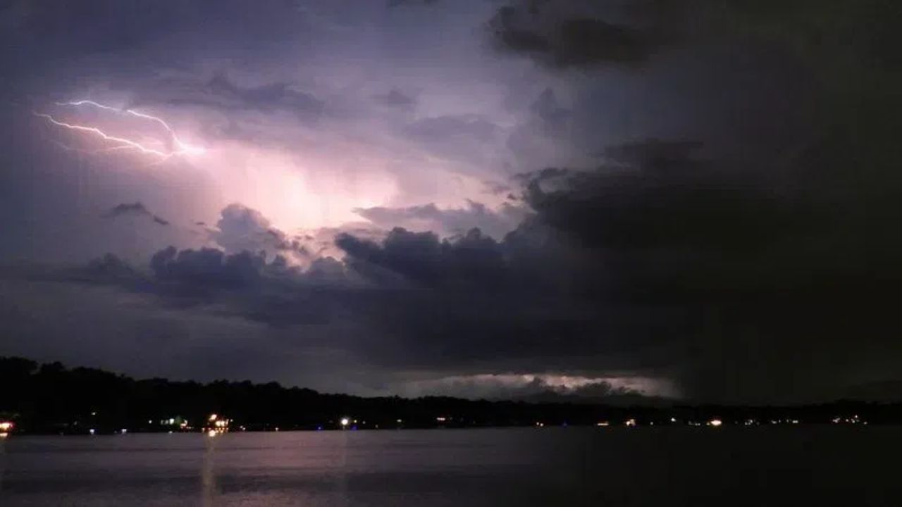
DETROIT — A significant shift in Monday’s severe weather outlook has pushed the highest risk zone eastward, bringing Detroit, Cleveland, Erie, and Pittsburgh into an area of concern for the first time. The update, issued early Saturday morning by the Storm Prediction Center, moves the 15 percent severe storm threat away from its earlier focus on Illinois and Wisconsin, redrawing the map to cover a broader stretch of the Midwest and parts of the Northeast.
According to the latest outlook, a frontal system moving through the region is expected to trigger storms that could intensify and cluster together after nightfall, as winds higher in the atmosphere pick up strength. That timing has forecasters concerned, since nighttime severe weather can be harder for residents to detect and respond to quickly.
Michigan finds itself at the center of the northern portion of the risk zone, with Grand Rapids, Traverse City, and Saginaw all falling within the highlighted area, stretching as far as Green Bay along its northern boundary. Meanwhile, cities including Chicago and the Quad Cities remain along the western fringe of the zone, while Fort Wayne, Indianapolis, and Columbus make up the central corridor. Champaign continues to sit along the southern edge of the outlook.
The inclusion of Detroit, Cleveland, and Pittsburgh marks a new development compared to the previous day’s forecast, which had kept the primary threat concentrated farther west. Officials note that because Monday’s system is still three days away, additional shifts in the storm track remain possible as the week progresses.
Residents across the affected corridor are being urged to stay alert for updated forecasts as Monday approaches, particularly given the potential for storms to strengthen after dark, a window when severe weather awareness can lag.