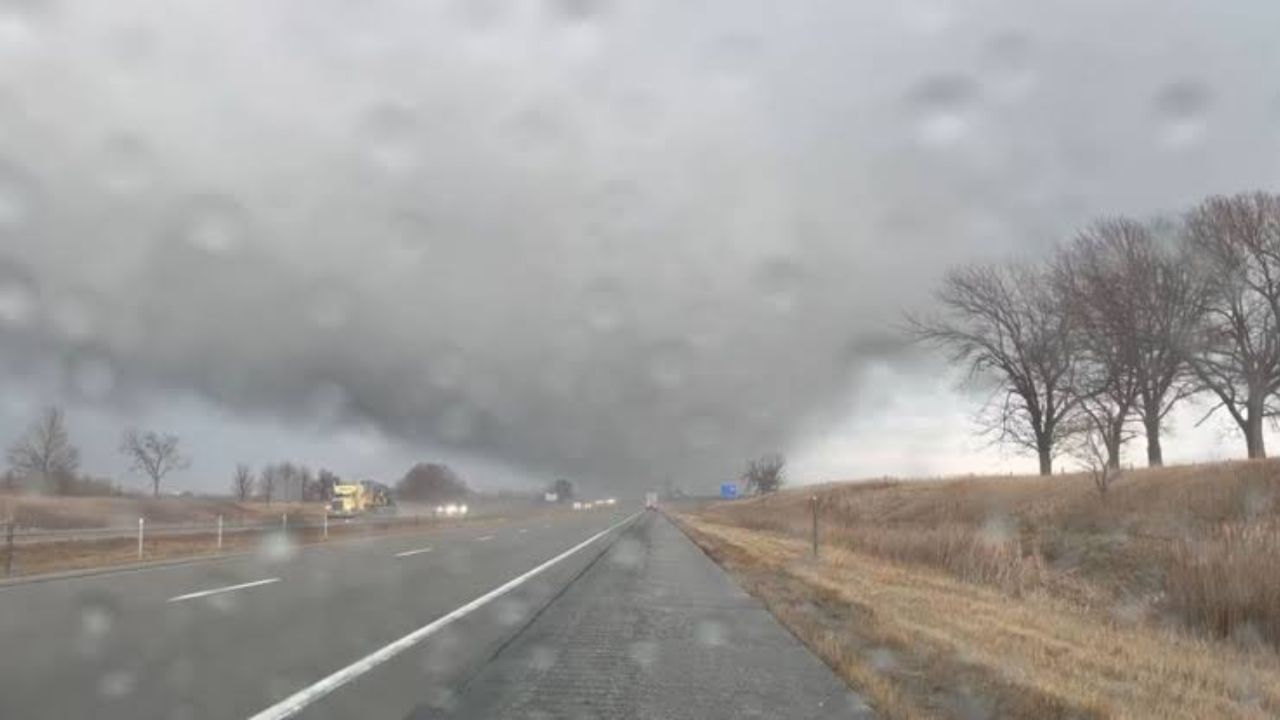
A dangerous line of severe thunderstorms is racing toward eastern Iowa and northwest Illinois, and residents have only a narrow window of time to get prepared before conditions turn life-threatening this evening.
Forecasters warn that wind gusts could reach up to 80 mph — strong enough to down trees, destroy roofs, and knock out power across multiple counties.
The storm system is expected to sweep through the region quickly, reaching Cedar Rapids around 5 p.m., the Quad Cities area near 6:30 p.m., and Burlington around 7 p.m. With the line moving southeast at roughly 55 mph, communities will have little time to react once the system arrives.
Beyond the damaging winds, forecasters have also raised the possibility of isolated tornadoes — particularly along and west of the Interstate 380 corridor, where unstable atmospheric conditions could spin up rotating storms. Flash flooding is an additional concern wherever the heaviest rainfall concentrates in a short period.
Communities including Cedar Rapids, Iowa City, Davenport, Bettendorf, Moline, Rock Island, Muscatine and Burlington are all in the threat zone and should prepare to take immediate shelter the moment warnings are issued.
Residents are urged to take action now: secure any loose outdoor furniture or equipment, charge phones and backup power banks, and make sure you have multiple ways to receive emergency alerts — including a weather radio, phone app or TV broadcast.
Drivers should be aware that road conditions could change dramatically within minutes as the storm passes through. Avoid traveling during the peak of the storm if at all possible. If a Tornado Warning is issued or damaging winds move in, go immediately to the lowest floor of a sturdy building and stay away from all windows.
Additional Severe Thunderstorm and Tornado Warnings are expected as the system continues southeast through the evening. Stay tuned to local emergency management officials and the National Weather Service for the latest updates in your area.