Officials warn residents to be weather-aware as the region enters one of its highest storm-risk windows of the year.
A potentially dangerous round of severe weather is set to strike the Pittsburgh area on Tuesday, with meteorologists placing the region under an Enhanced Risk — the third level on the five-point national severe weather scale. The designation signals a higher-than-usual confidence that multiple storms will reach severe intensity.
Residents should expect conditions to deteriorate after noon Tuesday, as a powerful cold front pushes through from the north before sweeping south through Pittsburgh and into surrounding communities through the evening hours.
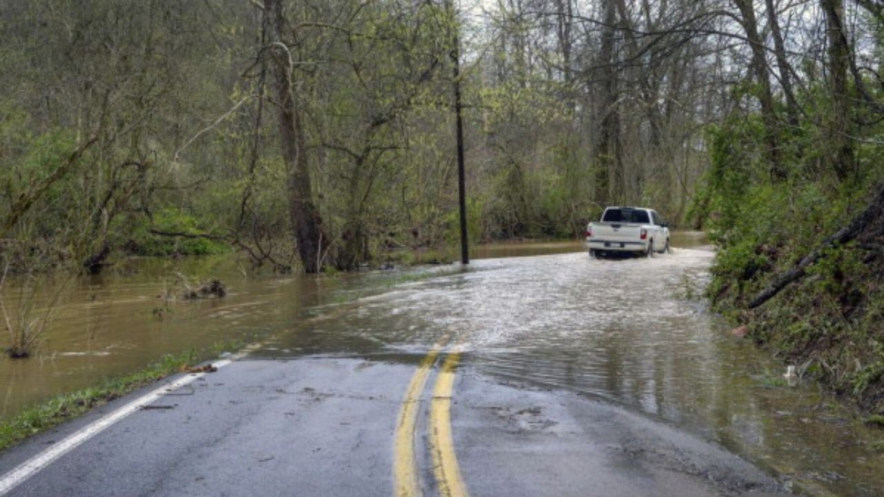
Four primary threats have been identified for Tuesday’s storm system: damaging winds, flash flooding, small hail, and possible tornadoes.
The strongest storms are expected to push through before 5 p.m. Tuesday. Forecasters are urging all Pittsburgh-area residents to monitor local alerts closely and avoid travel if storms are in the area. The timing — hitting during afternoon commute hours — adds to the concern for public safety.
Before the storms arrive, Monday offers a welcome contrast: low humidity, mostly sunny skies, and temperatures in the low 80s. Once Tuesday’s system exits, the rest of the week is forecast to be pleasant, with cooler-than-normal temperatures and low humidity. A few lingering showers are expected Wednesday, but nothing severe.
The storm threat arrives as Pittsburgh has already seen an above-average month for both heat and rainfall — temperatures have run more than 5 degrees above normal, and precipitation is running nearly 1.30 inches above the seasonal average.
Residents are urged to charge devices, identify shelter locations, and stay indoors if storms develop. Do not wait to act if a tornado warning is issued for your area.