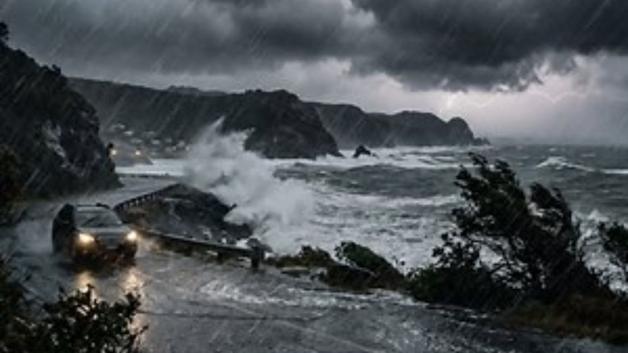
Multiple rounds of severe thunderstorms tore through New Jersey on Saturday, unleashing heavy downpours that triggered flash flooding, downed trees, and knocked out power to thousands of residents across the state.
The storms did not hit equally — some towns were drenched while others saw far less rain. Central New Jersey bore the brunt of the damage, with South River in Middlesex County recording the highest rainfall total in the entire state at 3.47 inches. Spring Lake Heights in Monmouth County followed closely at 3.2 inches, and Spotswood in Middlesex County also surpassed the 3-inch mark at 3.08 inches.
In Hudson County, Jersey City saw 2.91 inches of rain, while Harrison recorded 2.34 inches and Hoboken received 2.02 inches. Essex County was also hard hit — Newark received 2.78 inches, Kearny 2.73 inches, and Millburn 2.65 inches.
Bergen County saw significant rainfall as well, with Lyndhurst topping the county at 2.06 inches, followed by Paramus at 1.88 inches and North Arlington at 1.75 inches.
Ocean County communities including Brick (2.01 inches), Point Pleasant Beach (1.56 inches), and Toms River (1.2 inches) also reported notable totals.
Somerset County towns saw widespread rainfall ranging from 1.38 to 1.91 inches, with Somerville leading at 1.91 inches.
The good news: Sunday and Monday are expected to bring dry, pleasant conditions — a brief window of relief for storm-weary residents.
However, the National Weather Service warns that the threat is not over. Another round of severe thunderstorms and potential flooding is forecast to return Tuesday afternoon and continue through Wednesday. Residents are urged to monitor local alerts and avoid low-lying areas prone to flooding.
If your town was among the hardest hit, now is the time to check drainage, clear debris, and prepare — because Tuesday may bring another soaking.