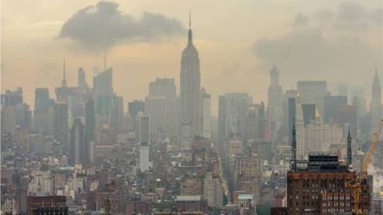
New York City, New York — Millions of people across the New York City metropolitan area are once again preparing for dangerous heat and poor air quality as another summer heat wave settles over the region, bringing triple-digit heat indices, hazardous beach conditions and growing concerns for vulnerable residents.
While forecasters say this week’s stretch of hot weather is not expected to be as intense or as long-lasting as the previous heat wave, officials are warning that the conditions remain dangerous enough to cause heat-related illnesses, particularly during the afternoon and early evening hours.
Heat Advisories Expand Across the Region
A Heat Advisory takes effect for New York City beginning around midday Tuesday, with temperatures expected to climb even higher by Wednesday.
Forecasters say heat index values—or “feels-like” temperatures—will top 100 degrees in many neighborhoods, making outdoor activities increasingly hazardous.
The most dangerous conditions are expected across Central and South Jersey, where Extreme Heat Warnings have been issued as heat index values could exceed 105 degrees.
Officials are urging residents to stay hydrated, limit strenuous outdoor activities during the hottest part of the day and check on elderly neighbors, children and anyone without access to air conditioning.
Air Quality and Beach Hazards Add to Weather Concerns
In addition to the heat, air quality alerts are affecting parts of the New York City area, creating additional health concerns for people with asthma, heart disease or other respiratory conditions.
Health officials recommend reducing prolonged outdoor activity when air quality is poor, especially for sensitive groups.
Meanwhile, beachgoers planning to cool off along the coast are being advised to exercise caution.
Authorities say New York City beaches and much of Long Island face a high risk of dangerous rip currents, increasing the possibility that swimmers could be pulled away from shore.
Officials encourage visitors to swim only at beaches where lifeguards are on duty and to follow all posted safety warnings.
Heat Wave Expected to Continue Through Thursday
Wednesday is forecast to be the hottest day of the week for much of the region.
Although Thursday will remain very hot, temperatures are expected to be slightly lower than Wednesday while still reaching the low to mid-90s.
If temperatures remain at or above 90 degrees for three consecutive days, the region will officially record its second heat wave of the summer.
Meteorologists say the prolonged heat continues to pose health risks despite being less severe than the earlier summer heat event.
Cooler Weekend Weather Brings New Challenges
Relief from the extreme heat is expected to arrive as the weekend approaches.
Forecasts call for high temperatures in the low 80s on Saturday and Sunday, providing a noticeable break from the oppressive conditions experienced during the week.
Flood Warning Issued for Texas: Up to 10 Inches of Rain Could Trigger Life-Threatening Flooding
However, the cooler air will also bring an increased chance of afternoon and evening showers and thunderstorms, with unsettled weather expected throughout Saturday.
Additional storms are also possible on Sunday, when large crowds are expected for the FIFA World Cup final, potentially affecting outdoor plans across the region.
Residents are encouraged to continue monitoring updated forecasts throughout the week, as weather conditions may change.
How are you preparing for this latest heat wave? Will the extreme heat or weekend storms affect your plans? Share your thoughts and stay safe by following local weather updates.